Steer Your Summer Adventures with Smarter Navigation
Safe boating starts with knowing exactly where you are and where you are going. When late summer hits and the water gets busy, that becomes even more important. Boats are crisscrossing, sandbars shift, storms pop up, and light fades faster than we expect. A Garmin marine GPS can turn all of that from stress into something you can handle with calm, clear information at the helm.
Many of us grew up with paper charts, a compass, and maybe a basic fishfinder that showed depth and a little position icon. Some of us now lean on phone apps. Those tools can help, but they are not built for long days on the water. A dedicated Garmin marine GPS is different. It is made for boats, bright sun, spray, and real on-the-water choices. When we upgrade the GPS on a boat, we are not just adding another screen; we are adding safety, confidence, and more fun every time we head out.
Why Today's Waterways Demand Better Tech
Late summer can turn quiet water into a crowded playground. There are new boat owners, rental boats, personal watercraft, and charter trips all moving at once. Add no-wake zones, slow-speed manatee areas, or narrow channels, and it is easy to feel overloaded at the wheel.
On top of that, nature has its own tricks. We deal with:
- Unmarked or poorly marked shoals and sandbars
- Sudden storms that move in faster than expected
- Strong tidal currents around inlets and passes
- Nighttime or foggy rides when landmarks vanish
If we rely only on a smartphone or a very old plotter, we hit limits fast. Phone screens wash out in bright sun. Signals can drop right when we are threading a skinny channel. Battery drain becomes a constant worry. Older GPS units may have slow redraw, simple charts, and clunky menus that take our eyes off the water.
A purpose-built Garmin marine GPS is designed around these real boating headaches. The hardware is made for salt, sun, and spray. The software is focused on clear charts, clean data, and quick access to what we need when things get busy.
What a Garmin Marine GPS Actually Does for You
At its core, a Garmin marine GPS is a chartplotter. It takes satellite position and lays your exact spot on detailed marine charts. That simple idea unlocks a lot of day-to-day help.
Key functions include:
- Accurate chartplotting that shows your boat on the map in real time
- Route planning so you can build safe, repeatable paths
- Track logging that leaves a breadcrumb trail of where you have been
- Clear speed, heading, and depth info right in front of you
With coastal and inland maps, you see depth contours, channels, buoys, rocks, wrecks, and other hazard markers. That makes it easier to avoid thin water and pick smart paths, instead of guessing by the color of the water or following other boats and hoping they know better.
On the water, that turns into simple wins. You can:
- Save waypoints for favorite fishing holes, sandbars, marinas, and fuel docks
- Mark crab pots, moorings, or dive sites so you come back exact, not "close enough"
- Follow a safe route home at dusk when shoreline lights all blend together
Quality-of-life touches matter too. Bright, daylight-readable displays let you see charts at a glance. Intuitive menus and fast processors keep lag low so you are not waiting for the chart to catch up while you steer.
Key Garmin Features That Can Transform Your Time Afloat
What really sets a Garmin marine GPS apart is how it works with the rest of your boat to give you better awareness and control.
On the safety side, many Garmin units can:
- Pair with sonar so you see depth under your keel in real time
- Connect to AIS receivers so you can see nearby AIS-equipped vessels on screen
- Set GPS-based anchor alarms to warn if you start to drag
- Trigger shallow-water alerts to help prevent sudden groundings
For convenience, modern models often include Wi-Fi and Bluetooth. That opens the door to:
- Pre-planning routes at home on a phone or tablet and syncing them to the unit
- Getting software and chart updates without messy cards
- Sharing waypoints and tracks between devices
As your boating life grows, a Garmin marine GPS can usually grow with it. Many models are ready to network with:
- Radar for weather and target tracking
- Autopilot systems to hold a course or follow a route
- Engine data to show RPM, fuel flow, and temps right on the screen
- Cameras to keep an eye on decks or engine spaces
MarineXGear carries Garmin displays, transducers, and related gear so boaters can piece together a setup that fits their hull type and how they use the water, from quiet lakes to open coastal runs.
Choosing the Right Garmin Marine GPS for Your Boat
Not every boat needs the biggest screen on the dock. The right Garmin marine GPS depends on boat size, where you run, and how you like to spend time afloat.
Think about boat size and dash space first. Small center consoles, skiffs, and runabouts often work best with compact screens that leave room for gauges and switches. Bigger cabin boats and offshore rigs can benefit from large screens or even a pair of units so charts and sonar each have their own display.
Your boating style also matters:
- Inland lake boaters may focus on detailed lake charts and fishfinding sonar
- Coastal cruisers usually care about tidal data, harbor detail, and route planning tools
- Offshore anglers might want advanced sonar, radar options, and networking potential
Budget and future plans play a role too. Entry-level units cover core chartplotter and sonar needs for smaller boats. Mid-range models add richer networking and better screens. Premium lines open up more expansion, like advanced radar or live sonar. Thinking about where you want your system to go later can help you pick a model that will not box you in when you are ready to add gear.
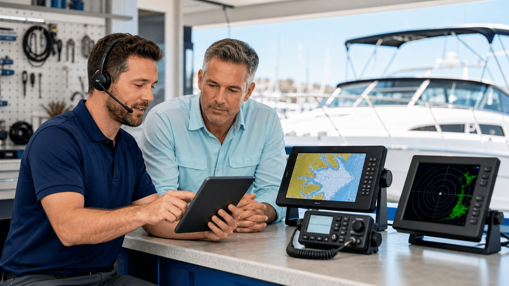
MarineXGear helps people match Garmin models with their boat size, favorite waters, and any electronics that are already on board so the system feels like one complete setup, not a pile of random boxes.
Installation, Learning Curve, and Real-World Use
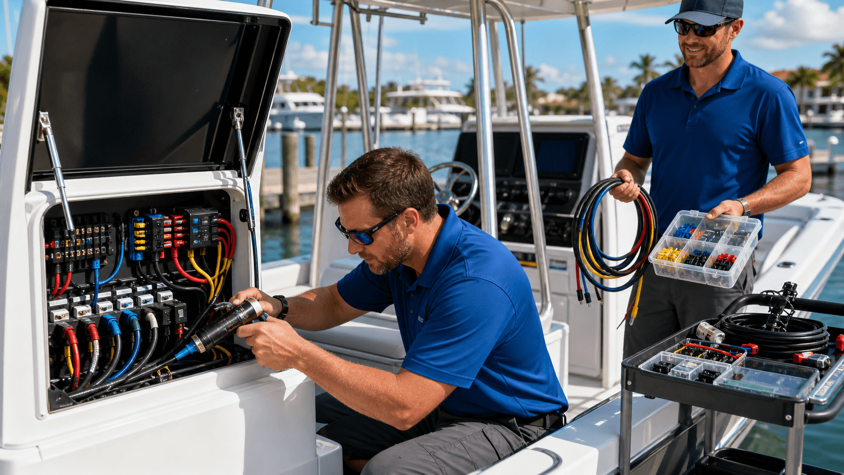
A Garmin marine GPS is real marine electronics, so it is worth planning how it will be installed. Many smaller, stand-alone units can be mounted on a bracket and wired to power and a transducer. Once systems start tying into radar, engines, and network backbones, professional installation becomes the better path for clean wiring and reliable connections.
The good news is that using the unit on the water is usually much easier than people expect. Garmin menus are built around simple icons and plain language. Most boaters can:
- Turn it on and see charts right away
- Create a basic route by picking a few points
- Drop and name waypoints in seconds
We often suggest getting to know the system on short, familiar runs. Use a day trip you know well to test new routes, watch your track line, tweak shallow-water and anchor alarms, and learn how the screen looks in different light. After a few outings, the Garmin unit tends to feel less like a gadget and more like a steady co-pilot that backs up your eyes and local knowledge.
As late summer rolls along and early fall trips start calling, that extra layer of clear, reliable guidance can make every run feel a little calmer and a lot more fun.
Navigate Your Next Trip With Confident, Real-Time GPS Precision
Equip your boat with reliable navigation by choosing a Garmin marine GPS from MarineXGear, so you can focus on the water instead of worrying about your route. Our team is here to help you match the right unit to your vessel, your typical conditions, and your budget. If you have questions or need personalized guidance before you buy, simply contact us and we will walk you through your best options.