Smarter Navigation for a Safer Boating Season
Good electronics at the helm matter most when the days get shorter and the weather starts to flip. Late-season runs in September and October can bring cool mornings, surprise fog, and crowded channels as everyone squeezes in one more trip. A simple GPS dot on a blank screen is not enough for that kind of boating.
Modern chartplotters act like a command hub for the boat. They pull in your charts, radar, AIS, sonar, engine info, and even weather, then show it in one clear view. When people search for a chartplotter for sale now, they are really looking for that full package: safety, smart routing, and an easy way to keep track of what is happening around the boat.
At MarineXGear, we focus on marine and aquatic gear that fits real-world boaters, from weekend inland cruisers to offshore anglers. We see how fast chartplotters have grown from simple GPS tools into the brain of the helm, and we help boaters pick the features that make sense for how and where they run their boats.
Beyond the Blue Dot: Advanced Charting and 3D Views
Basic charts show you coastlines, simple depth lines, and maybe a few markers. Modern chartplotters take that much further and turn the screen into a detailed picture of the water you are actually running.
Many newer units support rich vector and raster charts that can include:
- Depth shading to highlight shallow spots by color
- Tight contour lines that show drop-offs and channels
- Aerial photos of marinas, inlets, and shorelines
- Community notes about rocks, shoals, or local hazards
Those layers are especially helpful in shoulder-season boating. When light fades faster, you want to know exactly where the channel edges are and where the bottom starts rising.
3D and satellite views help here too. Features like fish-eye or bird's-eye 3D modes let you tilt the chart so you can see how the bottom rises ahead of your bow. Relief shading adds texture to the seafloor, so reefs and ledges pop off the screen instead of hiding in thin lines. Satellite overlays give you a real-world look at tricky inlets or narrow harbors before you enter, which is a big help in fall fog or on a gray evening.
Route planning has grown smarter as well. Many chartplotters now offer:
- Auto-routing that suggests a path based on your draft and nav aids
- The ability to avoid certain depths or areas
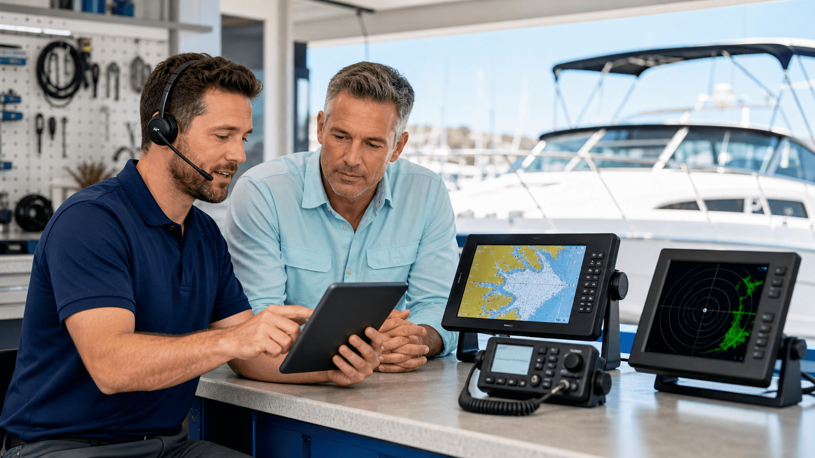
- Route planning at home on a phone or tablet, then syncing to the boat
With shorter daylight windows, this kind of planning really matters. You can lay out a route that keeps you away from unlit markers, tight shoals, or exposed headlands, then follow it confidently when you are actually on the water.
All Eyes on the Helm: Radar, AIS, and Sensor Integration
When we talk with boaters searching for a chartplotter for sale, radar overlay and AIS come up again and again. Many people now see those as standard features, not luxury extras.
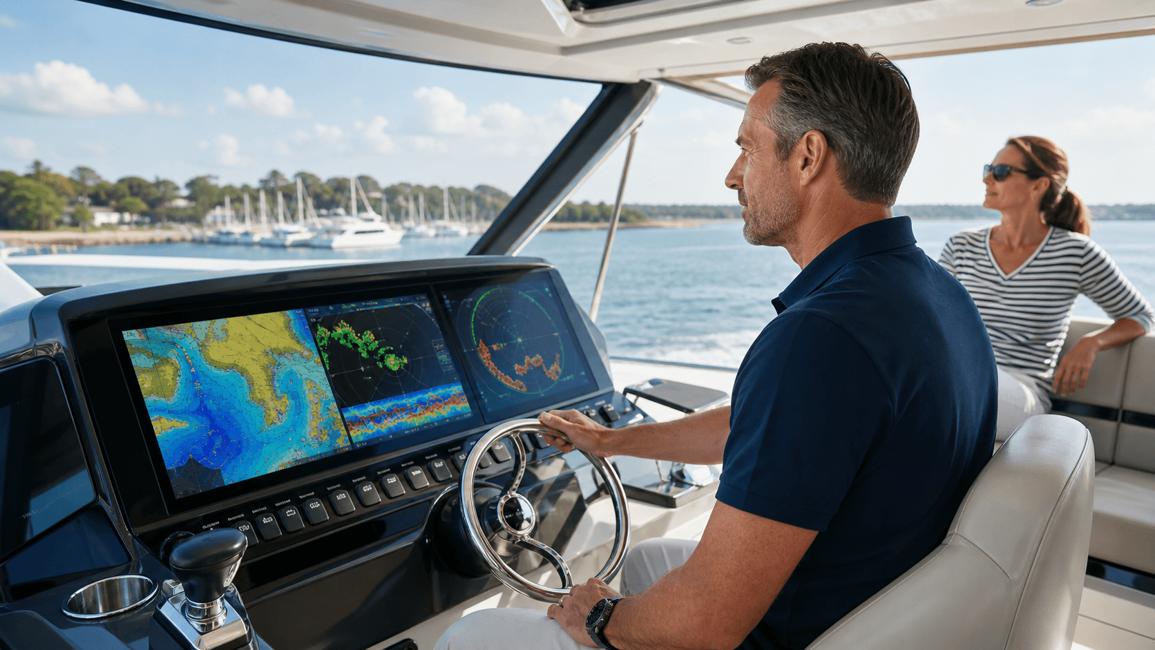
Radar overlay lets the chartplotter draw radar returns right on top of your chart screen. That makes it easier to match what you see on radar to what you see on the chart. In autumn fog or a sudden rain line, you can spot:
- Landmasses and headlands
- Other boats and large ships
- Squalls or storm cells nearby
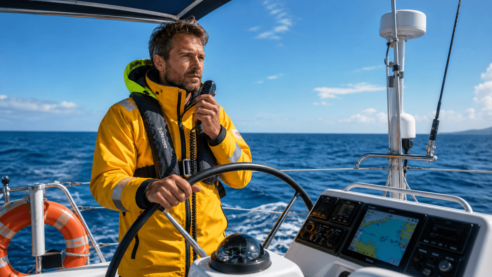
AIS adds another layer of safety. AIS targets on the chartplotter show nearby vessels with their name, speed, and course. In busy channels or near commercial traffic, this helps you understand who is where and how they are moving. It is much easier to decide if someone is a risk when you can see their path and closing speed right on the screen.
Networked sensors bring even more data together. Many chartplotters can pull in:
- Depth sounder readings and bottom data
- Local weather and barometric info
- Wind speed and direction from instruments
- Engine RPM, fuel burn, and alarms
Instead of jumping between a bunch of small gauges, you get a central, clear view of your situation. That means less guesswork and less time with your eyes off the water.
Touchscreens, Apps, and Seamless Onboard Connectivity
Older chartplotters worked fine, but the button-only menus could be slow and clunky. Modern units feel closer to a phone or tablet, with touchscreens, swipe motions, and simple icons. You can zoom, pan, and change views quickly, which is important when the water is busy and you need to act fast.
Custom layout options help too. Many boaters like to split the screen into combos, like:
- Chart and sonar side by side
- Chart with radar overlay and AIS targets
- Engine data bar along the bottom with the chart on top
Mobile app integration is another feature more people expect. With the right setup, you can:
- Plan routes on your phone or tablet at home
- Sync waypoints wirelessly to the chartplotter
- Use a tablet as a second screen at the helm or in the cabin
- Get chart updates without pulling chips in and out
For fall cruising, this makes planning much easier. You can look at the weekend forecast on the couch, build your plan, adjust for the shorter daylight, then push everything straight to the boat. Updated charts can also show recent changes like sandbar shifts or new hazard markers that matter in shallow coastal areas.
Onboard networking, usually through NMEA connections and Ethernet, lets the chartplotter talk to many systems. That can include your autopilot, audio controls, cameras, and other displays. The result is a true control center where you can steer, monitor, and watch what is happening on and around the boat from one place.
Fishing Intelligence: Sonar, Mapping, and Target Clarity
For anglers, the question is not just which chartplotter for sale is available, but what sonar and fishing tools come with it. Many modern units include built-in sonar options like:
- CHIRP sonar for better target detail
- Down imaging to see structure directly under the boat
- Side imaging to scan out to both sides
Matching the transducer to your hull type and fishing style is key. Different transducers work better on deep-V hulls, flat-bottom boats, or transom mounts, and they use different frequencies for shallow or deep water.
Live mapping tools can draw their own contour lines as you fish. Some systems show:
- Real-time depth contours
- Bottom hardness, such as mud vs. rock
- Vegetation layers where bait may hold
This level of detail helps find late-season holding spots when fish group up on edges, humps, and structure.
Target separation and clarity also matter. Sharper sonar returns help you spot the difference between a cloud of bait and a larger game fish hugging the bottom. With split-screen modes, you can keep your chart and sonar up at the same time, so you hold a tight track line while watching what is below.
When anglers shop for a chartplotter for sale, they should think through:
- Typical depth of the lakes, bays, or offshore areas they fish
- Need for side imaging vs. only down imaging
- Local or premium fishing maps and whether they can be updated
Getting those choices right helps the unit pay off every time you drop a line.
Choosing the Right Chartplotter and Gearing up with MarineXGear
Picking the right chartplotter starts with your boat and how you use it. A small inland runabout will not need the same setup as a bigger coastal cruiser.
A few quick points to think about:
- Screen size vs. helm space, you want a screen you can read in sunlight without blocking your view or controls
- Inland, nearshore, or offshore use, this affects chart choices, radar needs, and AIS value
- Day-trips or longer runs, more time aboard may mean more interest in radar, networking, and comfort features
- Fishing focus vs. pure cruising, anglers may want stronger sonar and advanced fishing maps
It also helps to think about the future. Many boaters start with a chartplotter and sonar, then want to add radar, AIS, or extra screens later. Units that support software updates, add-on modules, and network expansion let your system grow with your boating.
At MarineXGear, we focus on pairing chartplotters with the right transducers, safety gear, and accessories so your helm feels complete, not cobbled together. We pay close attention to product specs and compatibility, so it is easier to compare features and match them to your boat and your local waters. That way, when the next fall or spring boating season rolls in, you can head out with more confidence, clearer info, and a chartplotter that does far more than just show a blue dot.
Upgrade Your Navigation With Reliable Marine Electronics Today
Explore our curated selection to find the ideal chartplotter for sale that fits your vessel and boating style. At MarineXGear, we focus on dependable gear that makes your time on the water safer and more enjoyable. If you need help comparing models or choosing the right setup, reach out through our contact page. Let us help you outfit your boat with confidence so you can navigate with precision on every trip.